Introduction to Cesium
Cesium official website: https://cesiumjs.org

The website title states:
| |
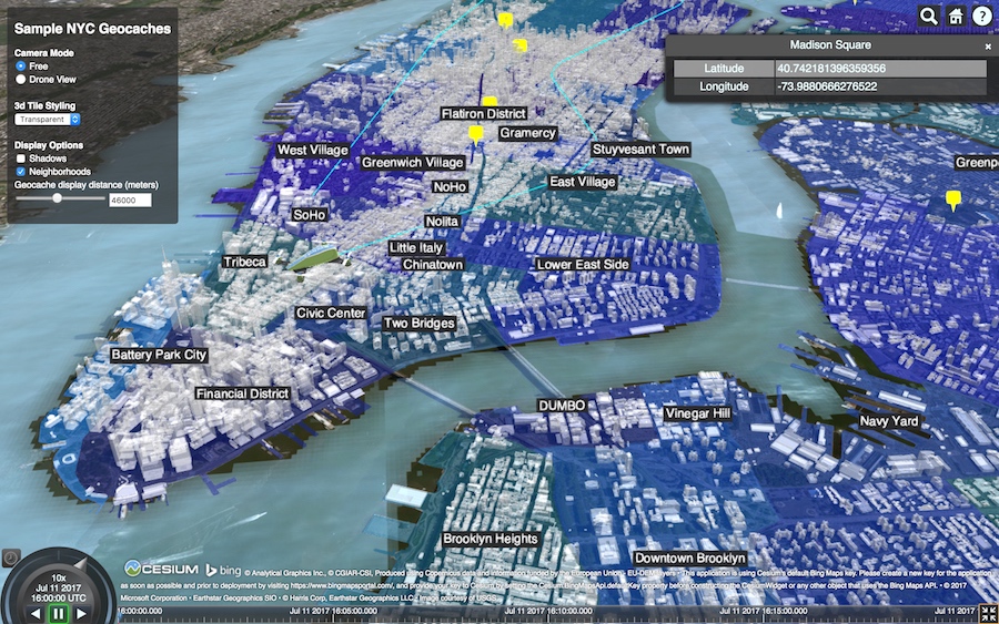
Cesium is an open-source JavaScript-based 3D mapping framework. Essentially, it is a map visualization framework.
The website description states:
| |
CesiumJS is a 3D geospatial platform for creating virtual scenes. Its goal is to create web-based dynamic data visualization using maps. It strives to provide the best performance, accuracy, visualization capabilities, ease of use, and platform support.
Data Formats and Features
Cesium supports 3D Tiles, Terrain and Imagery Layers, 3D Models (glTF), Vectors and Geometry (Load KML, GeoJSON, TopoJSON, and CZML), Time-Dynamic Visualization, 3D, 2D, and 2.5D Columbus View.
- Supports 2D, 2.5D, and 3D geographic (map) data display
- Can draw various geometric shapes, highlight regions, supports importing images and even 3D models for diverse data visualization
- Can be used for dynamic data visualization with good touch support, compatible with most desktop and mobile browsers
- Supports time-axis-based dynamic streaming data display
Thoughts
Thanks to the development of frontend technologies, the standardization of HTML5 and CSS3, increasingly better WebGL support from major browser vendors, growing personal computer memory, and advances in graphics cards, I can see the browser-based 3D digital globe that I’ve always wanted to build becoming a reality. I’m very excited.
Summary
- Cesium is a cross-platform, cross-browser JavaScript library for displaying 3D globes and maps.
- Cesium uses WebGL for hardware-accelerated graphics. No plugins are required, but the browser must support WebGL.
- Cesium is an open-source project licensed under Apache 2.0. It can be used freely for both commercial and non-commercial purposes.
Cesium Chinese Website QQ Group: 807482793
Original link: http://cesiumcn.org/topic/137.html | Quick access: http://cesium.coinidea.com/topic/137.html